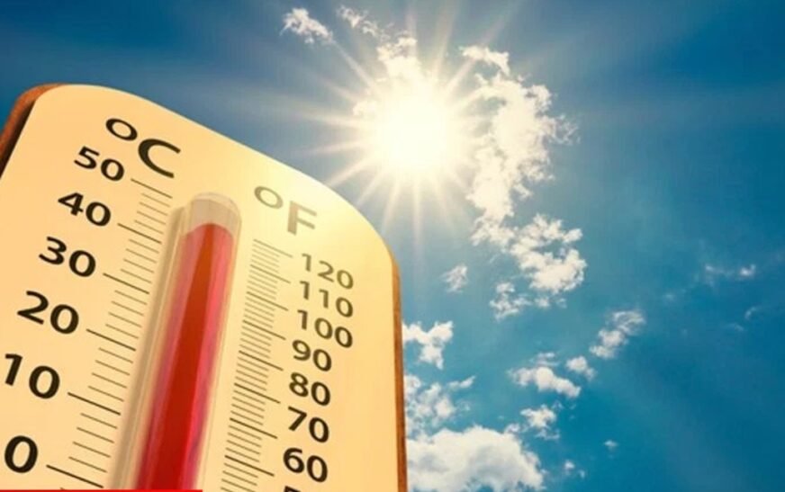
PESHAWAR: The Pakistan Meteorological Department (PMD) has issued the latest regional update for Khyber Pakhtunkhwa and predicted hot and partly cloudy weather as shallow westerly wave continues to influence the country’s upper latitudes, establishing a distinct divide between the northern highlands and the southern plain regions.
Partly cloudy conditions are prevailing across the northern belt, covering Chitral, Upper & Lower Dir, Swat, Shangla, Buner, Malakand, Kohistan, Abbottabad, Mansehra, and Battagram. The Met Office indicates a high probability of isolated rain-windstorms and thunderstorms developing by the afternoon and evening. High-altitude mountain locations face a potential risk of localized, heavy downpours and scattered hailstorms. Additionally, increasing seasonal temperatures in these northern zones have prompted warnings regarding accelerated glacier melt, which elevates the risk of localized flash floods or landslides in vulnerable terrains.
Mainly warm and dry conditions will characterize the daytime hours in the central plains, including Peshawar, Mardan, Charsadda, Swabi, and Nowshera. Temperatures in Peshawar are expected to reach maximums between 32°C and 34°C, with elevated humidity levels driving the real-feel index higher. By later afternoon and evening, strong gusty winds are projected to generate dust storms across these plains, with a minor chance of isolated, brief thundershowers following the wind activity.
The southern tier encompassing Dera Ismail Khan, Bannu, Tank, Lakki Marwat, and Waziristan will experience the highest temperatures across the province. The prevailing outlook remains hot, dry, and hazy. High-velocity winds are expected to trigger widespread dust storms across the open landscape by midday.