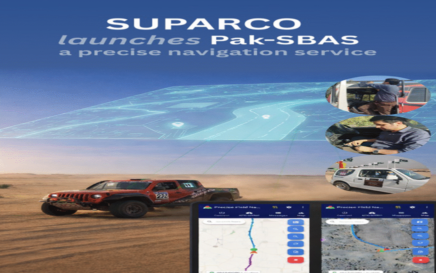
ISLAMABAD: The Pakistan Space and Upper Atmosphere Research Commission (SUPARCO) has launched its modern ‘Pak-SBAS’ navigation system during the Cholistan Rally 2026, marking a significant milestone in the country’s positioning and navigation capabilities.
According to a SUPARCO spokesperson, the Pak-SBAS (Satellite-Based Augmentation System) demonstrated high accuracy and signal reliability in challenging desert conditions during the rally. The new technology significantly reduces positioning errors compared to standard Global Navigation Satellite Systems (GNSS).
Rally drivers reported enhanced confidence in route tracking, benefiting from improved precision and stability of signals. The spokesperson added that the system would also prove valuable during natural disasters by supporting rescue and relief operations with accurate location data.
Pak-SBAS is expected to facilitate safer and more efficient navigation in the transport and aviation sectors, while also reducing positioning errors and operational costs in surveying and mapping activities.
SUPARCO said the advanced system would strengthen public safety and promote technological self-reliance in the country.
Read also: Ramazan likely to begin in Pakistan on Feb 19, SUPARCO